


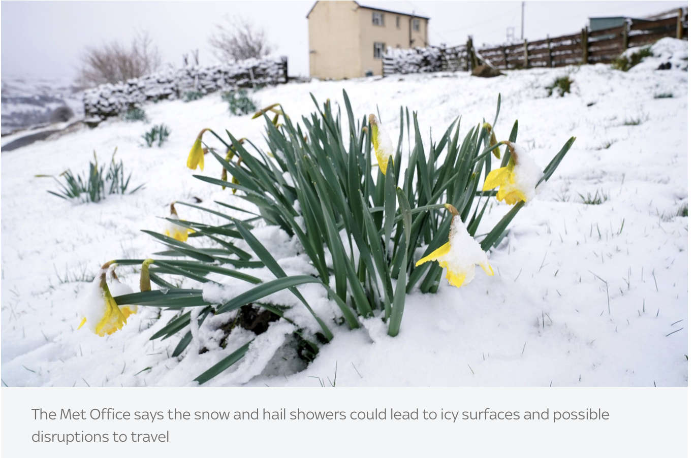
The Met Office has issued a yellow weather warning for parts of East Sussex tomorrow (April 1), warning of disruption caused by ice and perhaps snow.
What to expect
- Some roads and railways likely to be affected with longer journey times by road, bus and train services
- Some injuries from slips and falls on icy surfaces
- Probably some icy patches on some untreated roads, pavements and cycle paths
Forecasts predict Hastings will see temperatures no higher than five degrees on Friday and, with a 50% chance of rain at lunchtime, the risk of ice later in the day is possible.
Wind gusts are also likely to reach almost 40mph, making temperatures feel closer to zero.
The warning does not extend to Eastbourne, which is expected to reach highs of six degrees tomorrow, with wind gusts, again, making it feel more like zero.
Meteorologist Matty Box said that there was currently a "cold air mass" over the UK and warned that more weather warnings could be issued for Friday morning.
"There is an ice warning out at the moment," he said. "If there's any melt and it refreezes overnight then there's an ice risk.
"I suspect there will be a similar risk for Thursday night to Friday morning."
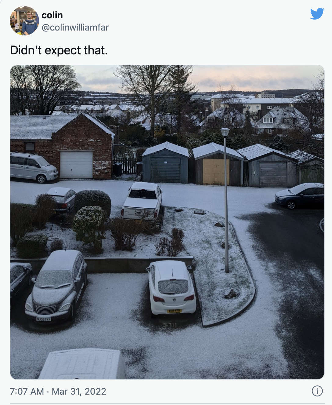
People have been sharing their snow pictures on social media, with some waking up to blankets of snow outside in the likes of Aberdeen, Yorkshire, Newcastle and Derbyshire among other places.


 New Volunteer Launch Authority Officer Sought For Littlehampton RNLI
 Investigation Started Following Unprovoked Attack On Teen Girl In Brighton
 Third Arrest Made In Connection With Fatal Stabbing Of Bexhill Woman
 Investigations Ongoing After Teen Dies In Uckfield Crash
 40 Year Old Badly Hurt Following Serious Collision In Brighton
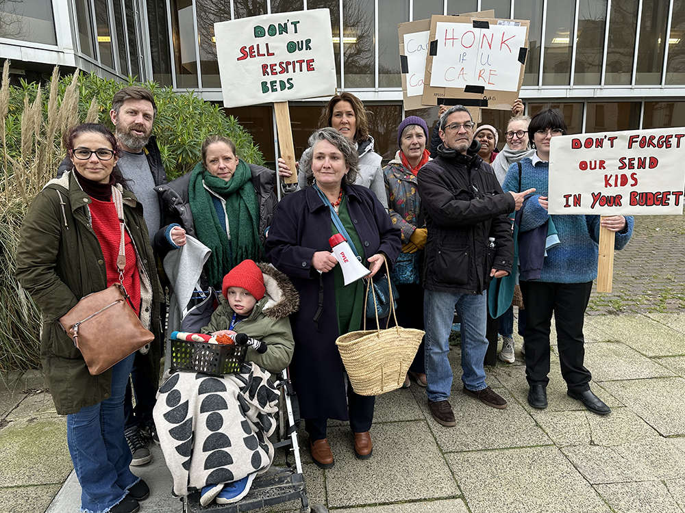 Mother's Plea For More SEND Support In Brighton and Hove
 West Sussex Service Supporting Children's Mental Health Celebrates Five Years Of Action
 Disruption To Rail Services As Works Get Underway This Weekend
 23 Year Old Suffers Serious Wounds After St Leonards Knife Attack