


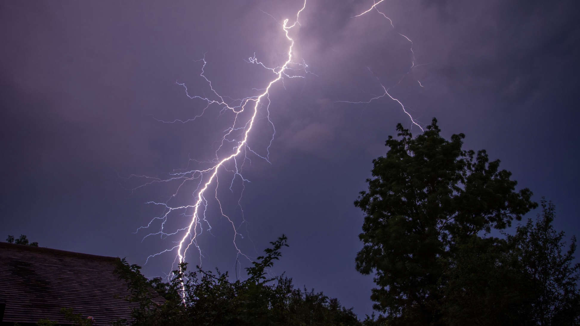
A yellow weather warning for thunderstorms has been issued for much of the UK.
The Met Office alert covers most of southern and northern England and the Midlands.
It comes into force at 12am on Thursday and ends at 11.59pm.
"Heavy showers and thunderstorms are expected to develop on Thursday and may lead to some disruption," the Met Office said.
Spray and "sudden flooding" could lead to difficult driving conditions and some road closures, it said.
"Where flooding or lightning strikes occur, there is a chance of delays and some cancellations to train and bus services," it warned.
It added there is also the potential for power cuts to homes and businesses.
It comes after yellow heat health warnings were issued across most of England by the UK Health Security Agency (UKHSA).
The UK could see its hottest day of the year in the coming days alongside the likely declaration of an official heatwave, according to forecasters.
The UKHSA warned the conditions may have "significant impacts" on the health and social care sector, particularly across the South East and London.
All areas of England, except the North East and North West, have been included in the warning, which is in place until Wednesday.
London could see highs of 32C (89.6F) by Tuesday, while other parts of the country will see temperatures four or five degrees warmer than average for the time of the year, the Met Office said.
Heatwave thresholds could be reached across some areas from Tuesday.
The threshold is met when a location records at least three consecutive days with maximum temperatures exceeding a designated value, according to the Met Office.
This is 25C (77F) for most of the UK, but rises to 28C (82.4F) in London and its surrounding area, where temperatures are typically higher.
Met Office spokesperson Nicola Maxey said London and the South East could see temperatures around 30C (86F) today (July 29), while it will be cooler nearer the coast - before conditions become increasingly unsettled in the days ahead.
She added:
"As we move into the middle of the week we start to see an increasing risk of thunderstorms developing, particularly in parts of England and Wales, and the rain is such that it could cause some local disruption.
"This is the sort of rainfall that could cause surface water flooding and heavy rain that takes a while to clear away.
"There could also be some lightning potential for hail and gusty conditions."
She added a return to cooler temperatures is expected by next weekend.
Last week, the Met Office revealed how the average number of days of 30C heat or above had trebled in Britain.
The UK's climate is still getting sunnier, wetter and warmer, it added.
The extreme conditions seen in 2023 - including the warmest June on record - could be a "cool year" in the UK by the end of the century, scientists added.

(c) Sky News 2024: Yellow weather warning for thunderstorms issued for much of UK
 Asda Workers Demonstrate In Brighton As More Than 60,000 Women Set To Begin Equal Pay Campaign
 Chichester District Council Reveals Plan To Ease Impact Of Traffic On A27 Bypass
 Wealden Community Sports Hub Receives £3.5million Funding From Football Foundation
 Drusillas Releases 'Double The Fun' Offer For September
 Blazing Saddles Free Outdoor Performance Coming To Brighton
 Get Your Electric Blanket Tested For Free This Autumn
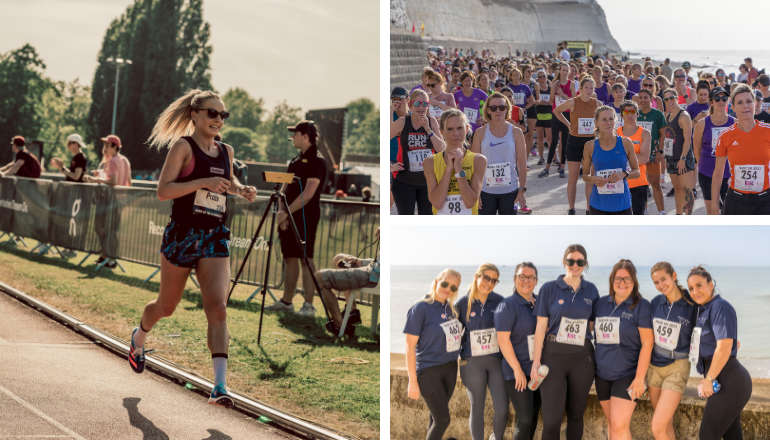 Brighton Half Marathon Pacer Emily Proto To Start 17th AnnualRISE 8K Run For Women
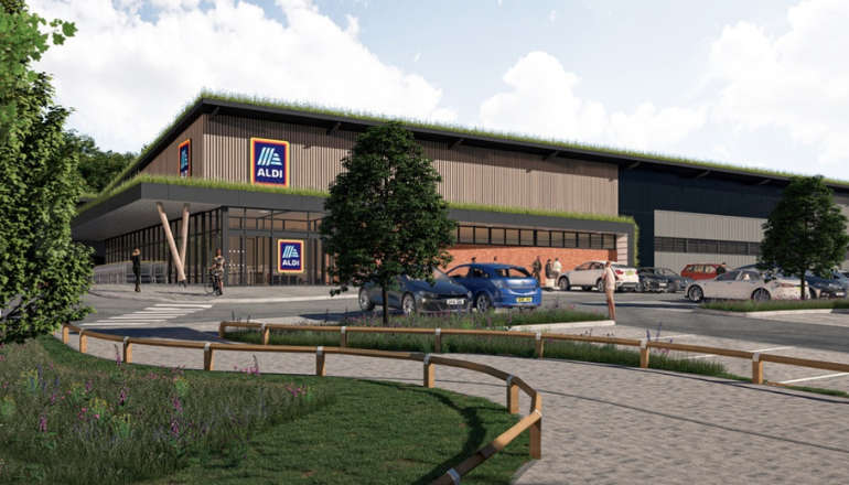 Brighton And Hove Aldi Plan Approved
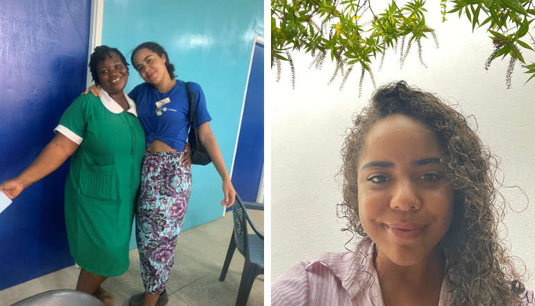 Brighton Student’s Award-Winning Health App To Improve Midwifery Care For People Of Colour
 University Of Brighton Design Graduates Team Up To Turn Waste Uniforms Into Sustainable Bags